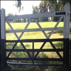
Locally, Bradwall is about a mile north of Sandbach, 7.5 mi (12.1 km) northeast of Crewe, 4 mi (6.4 km) southeast of Middlewich, 4 mi (6.4 km) south of Holmes Chapel, and 8 mi (13 km) west of Congleton. The Parish covers 1938 acres (7.8 km2, 3.0 mi2) Somewhat irregular in shape, it extends about 3 mi (4.8 km) east-west, and 2.5 mi (4.0 km) north-south. The land is slightly undulating, at an elevation of about 130 ft (40 m) in the northwest, rising to about 195 ft (59 m) in the southeast. Wooded areas included Barlow Wood, Bradwall Wood, Denman Wood and Hollins Wood.
A handful of brooks flow throughout the parish, the most notable being the so-called Small Brook which flows into Sanderson’s Brook in the adjacent Sproston Parish. The River Croco is about a 1.5 mi (2.4 km) north of Bradwall, and the River Wheelock about 2.5 mi (4.0 km) away from the southwest boundary of Bradwall. Both rivers join the River Dane in Middlewich, which itself flows about 2.5 mi (4.0 km) north.
